 1915 DC
The Mall and the river · 15 photographs
The Potomac waterfront
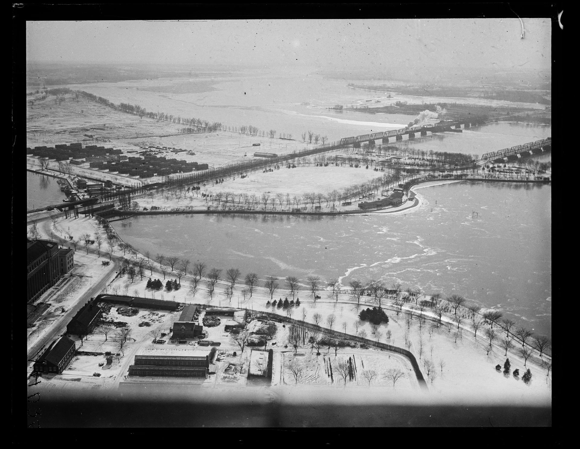
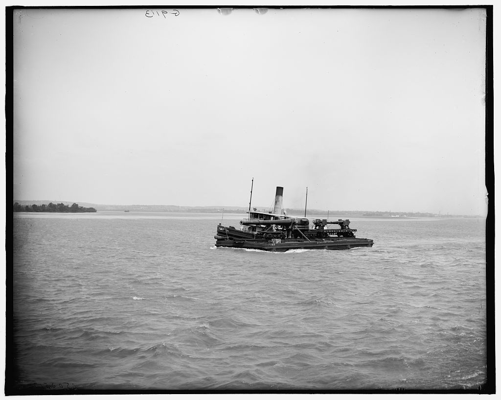
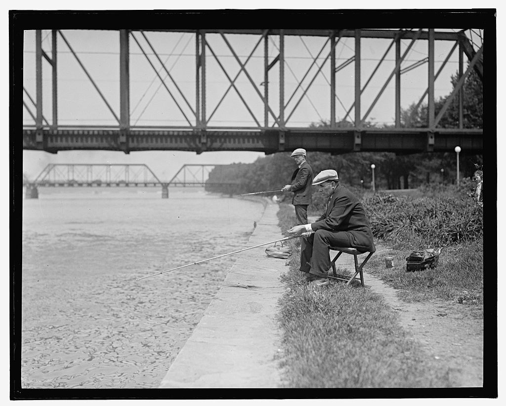
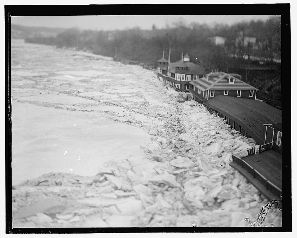
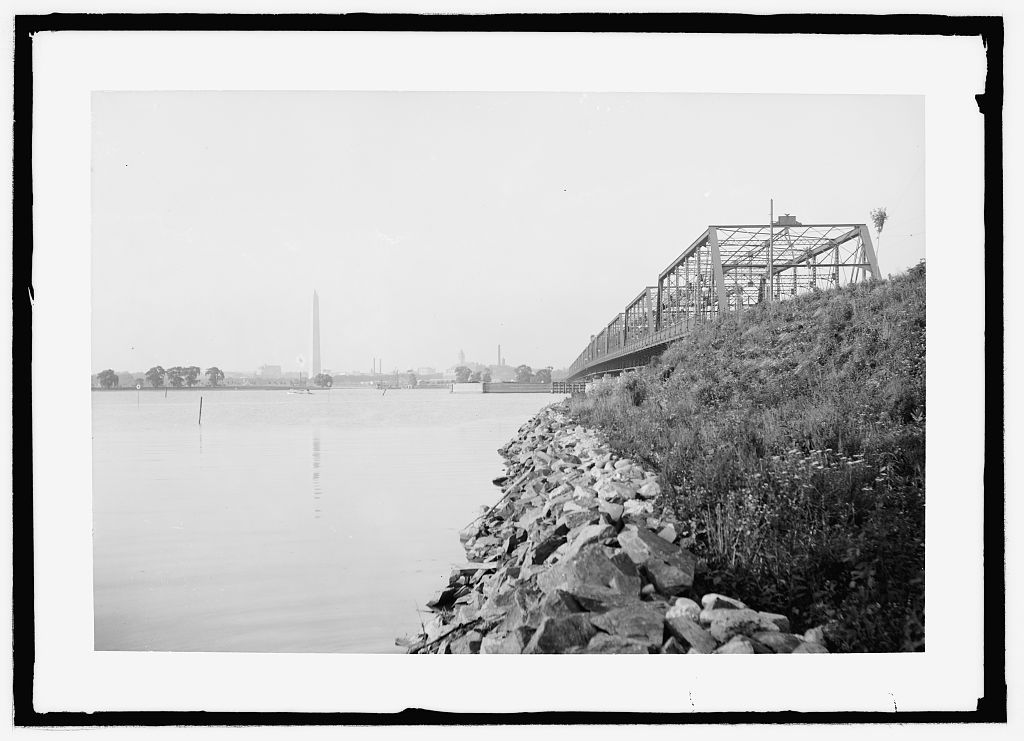
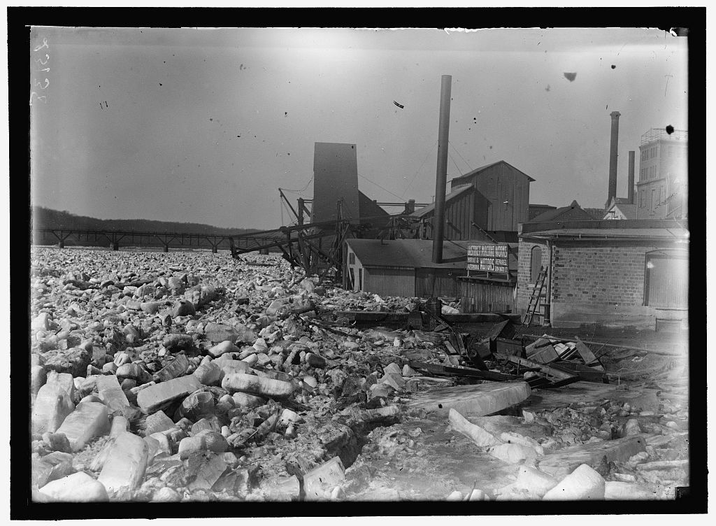
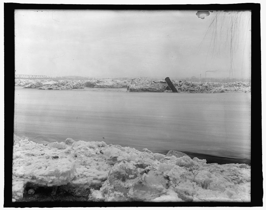
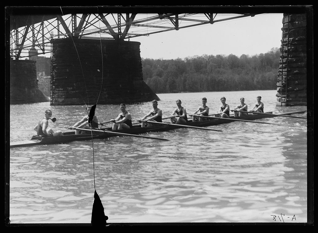
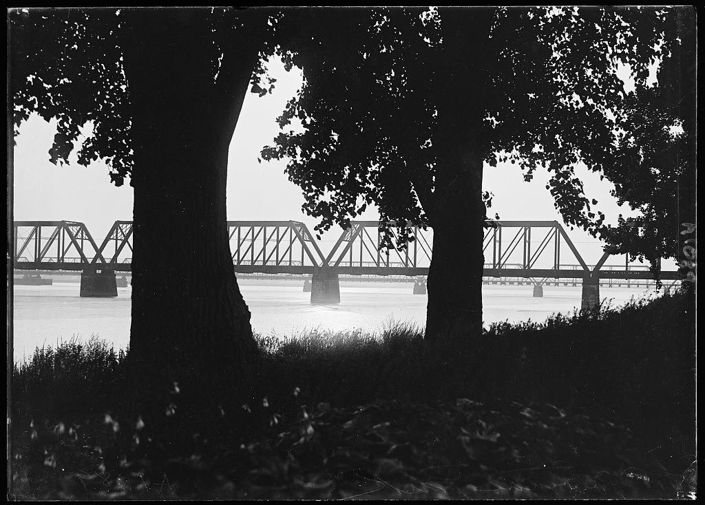
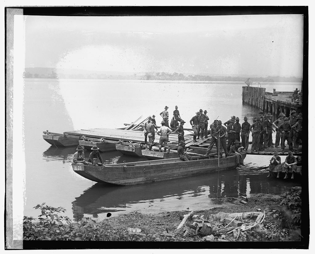
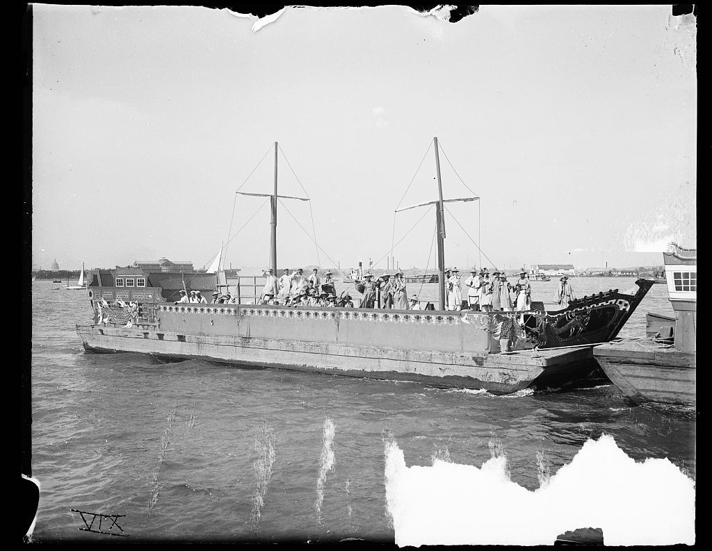
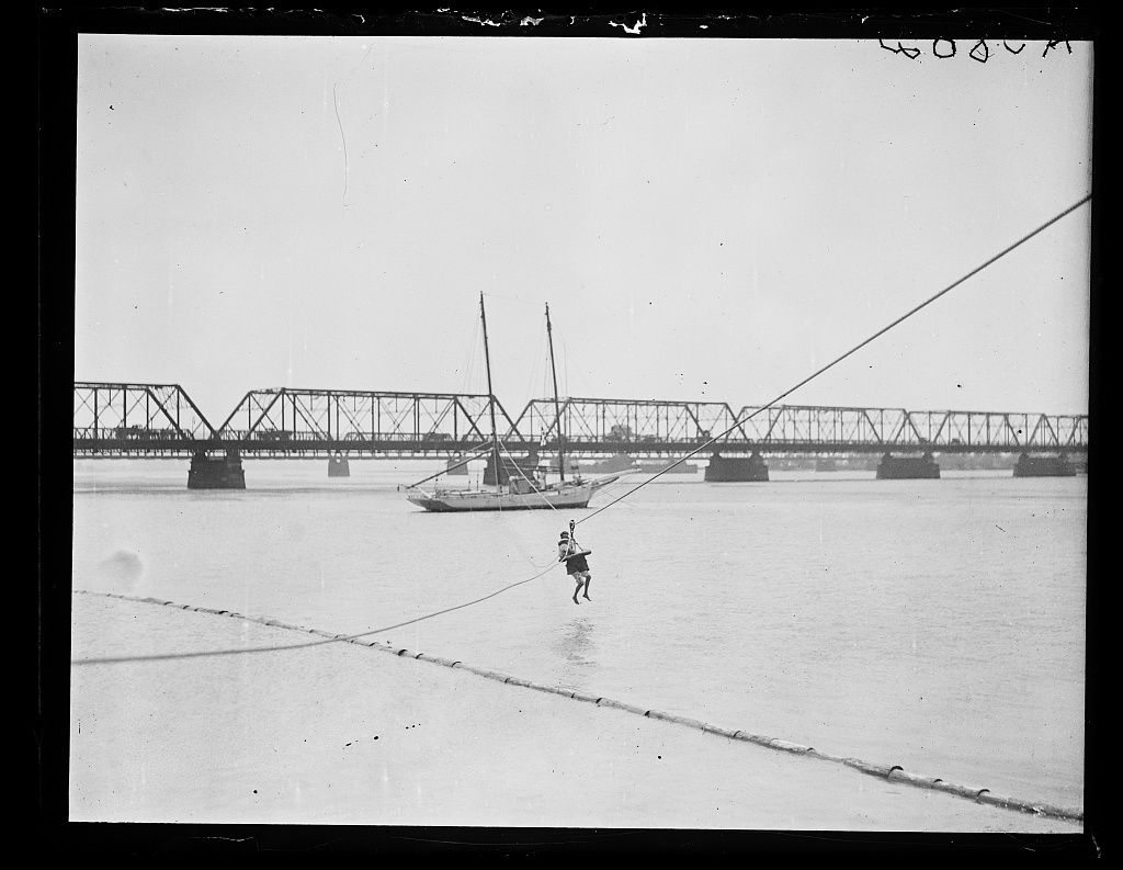
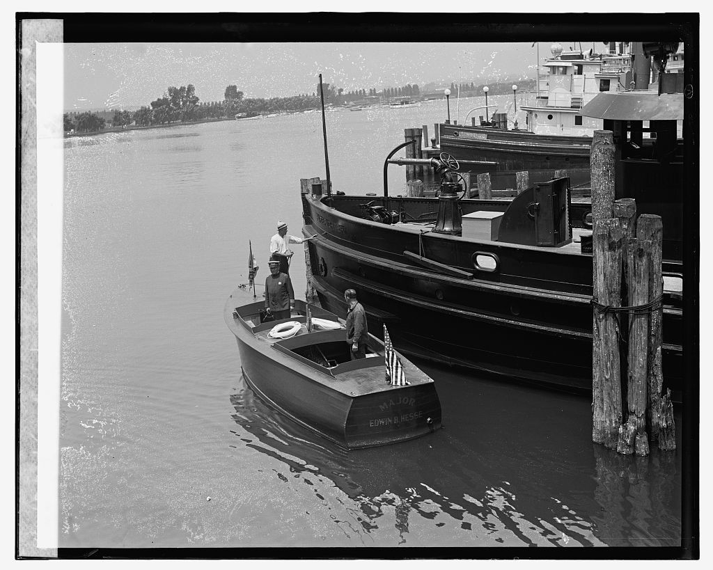
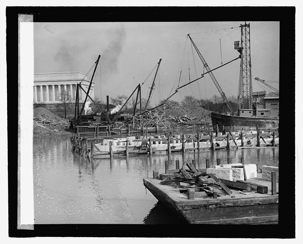
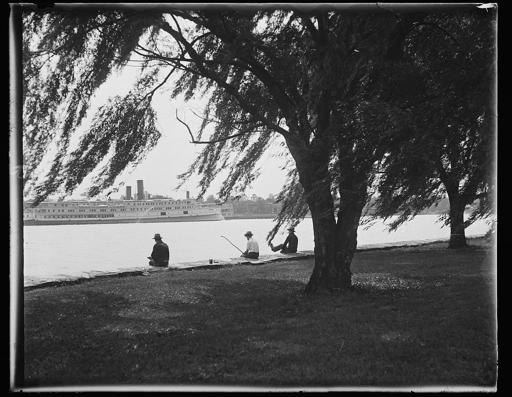
The river at the city's edge: the Highway Bridge, boathouses, excursion steamers and the winter ice.
History
The Potomac was still a working river in the 1910s. Excursion steamers carried day-trippers from the city to Mount Vernon and to the picnic grounds at Marshall Hall across the river, the Highway Bridge of 1906 carried traffic to Virginia at 14th Street, and the Aqueduct Bridge, with its streetcars, did the same from Georgetown. In hard winters the river froze.
What's there now
The 14th Street bridges, the Arlington Memorial Bridge and the Key Bridge cross the river, and the waterfront is parkland, boathouses and trails.
Then and now
The river’s shape at the city’s edge is much as it was after the reclamation that followed the flood of 1881; the Highway Bridge and the Aqueduct Bridge have both been replaced, and the steamers are gone.
Photographs 15, oldest first
Nearby: The Tidal Basin and Potomac Park · The Washington Monument · The Southwest waterfront · The Lincoln Memorial · Seventeenth Street