 1915 DC
The Mall and the river · 65 photographs
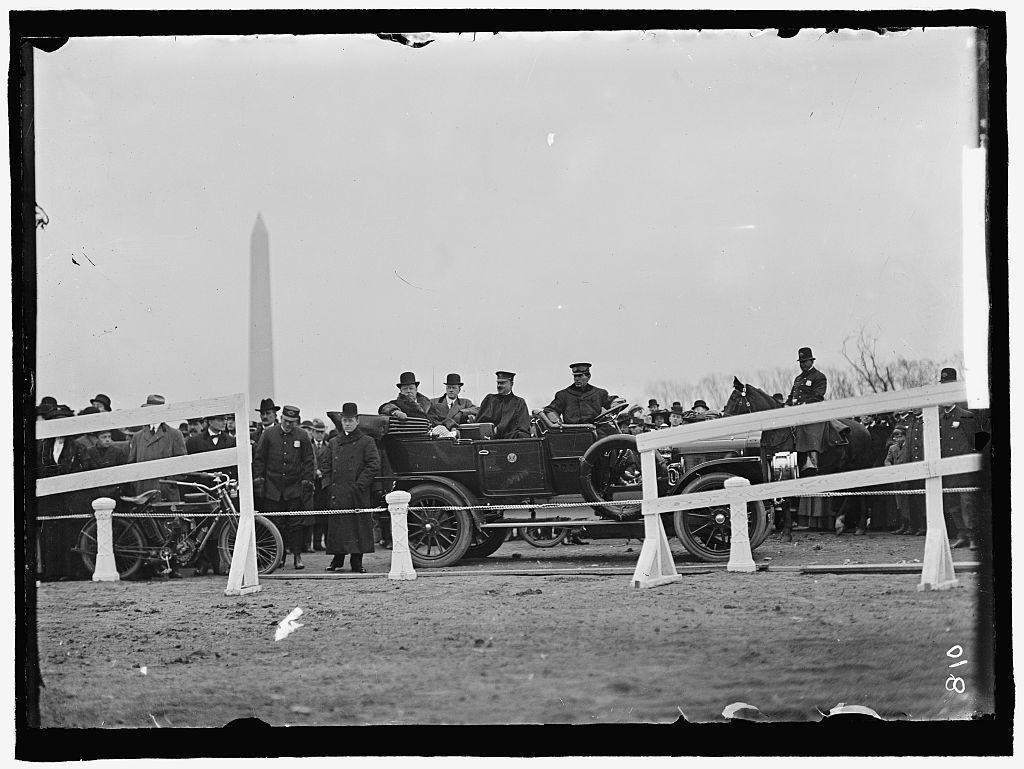
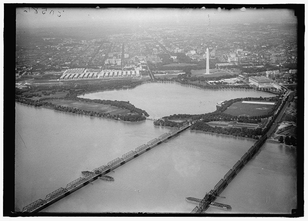
The Tidal Basin and Potomac Park
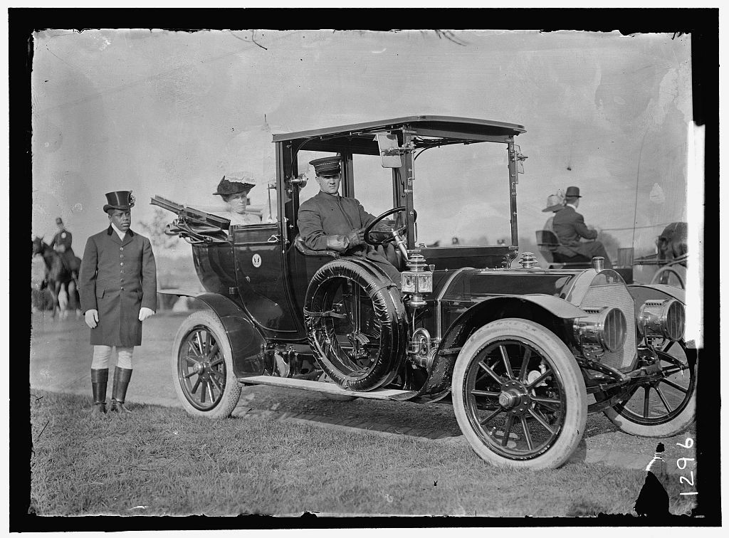
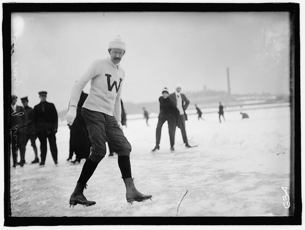
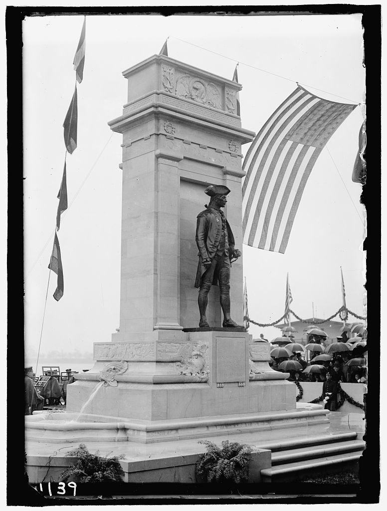
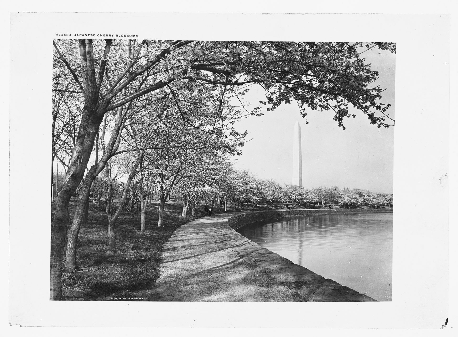
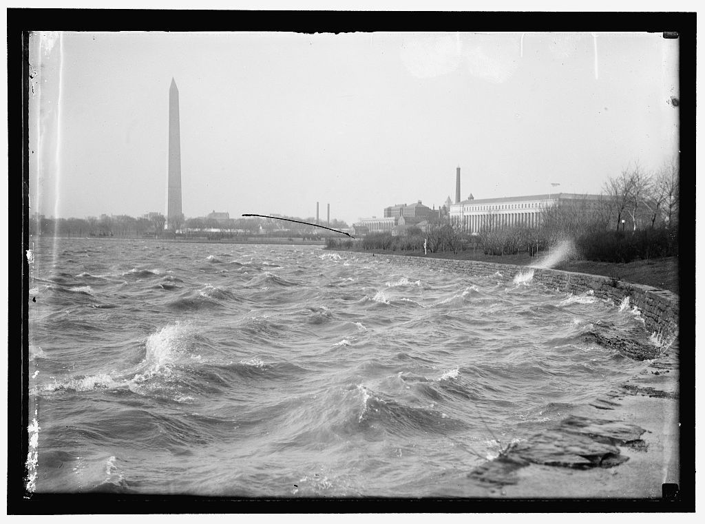
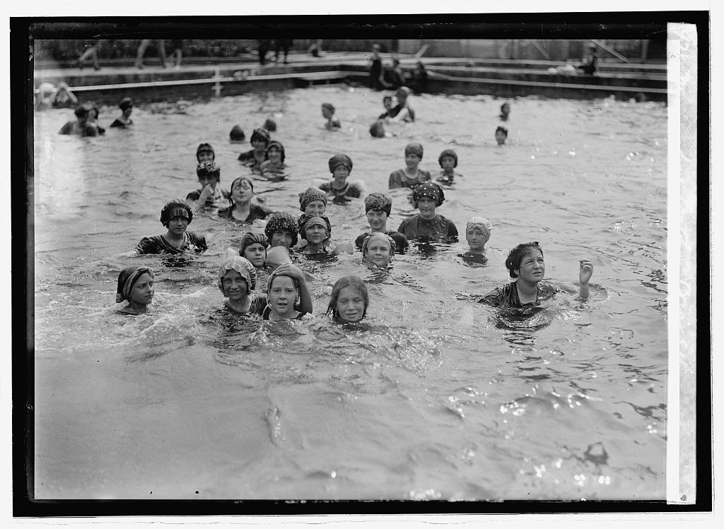
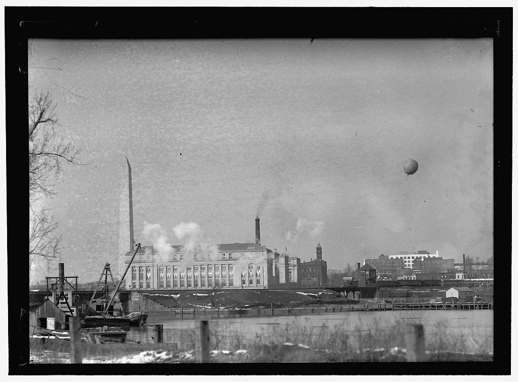
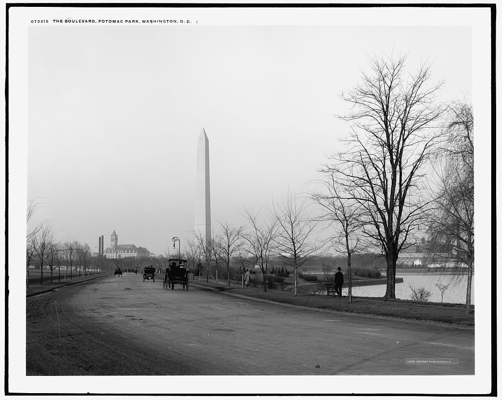
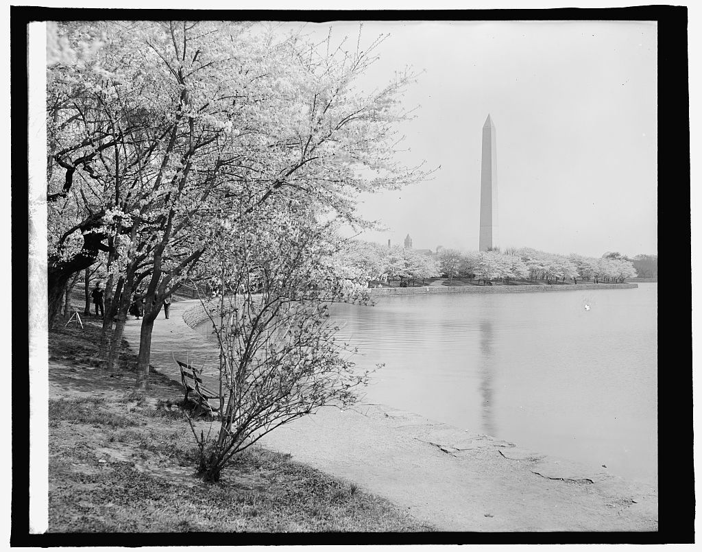
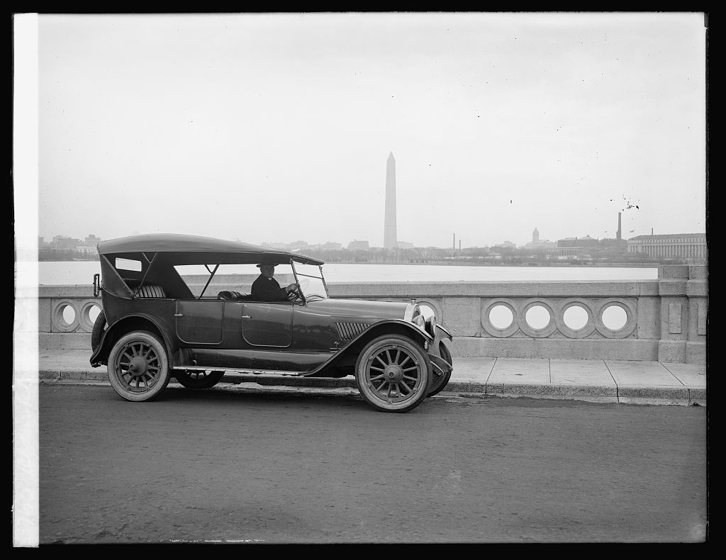
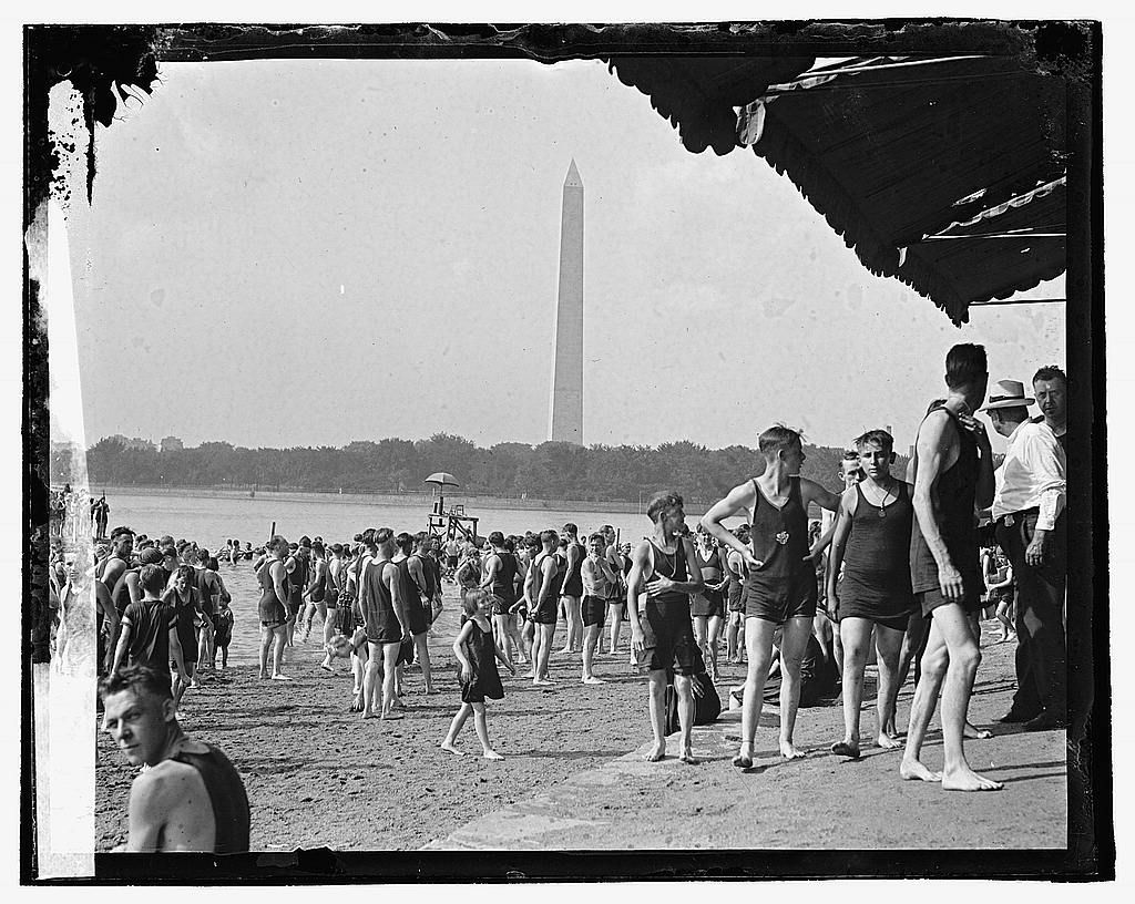
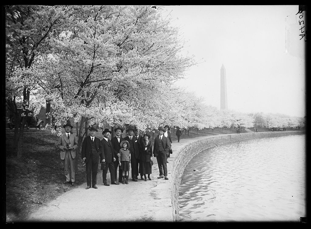
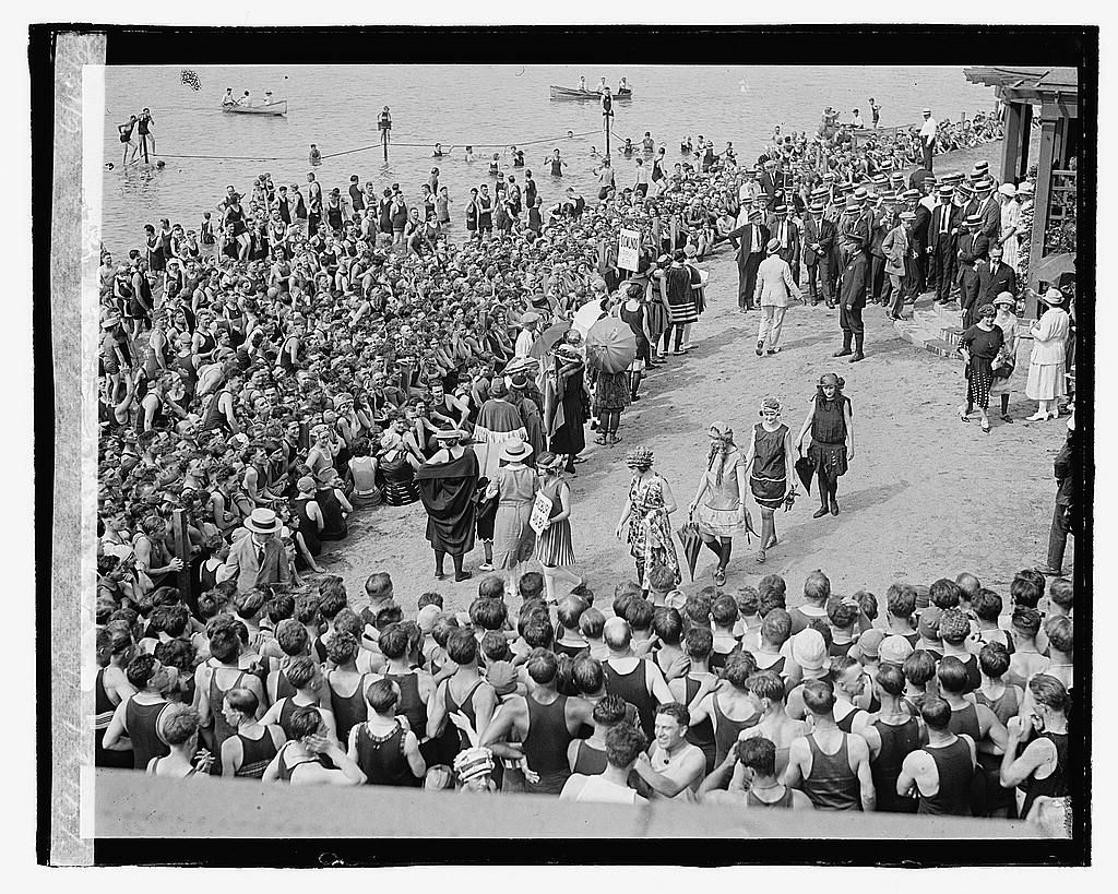
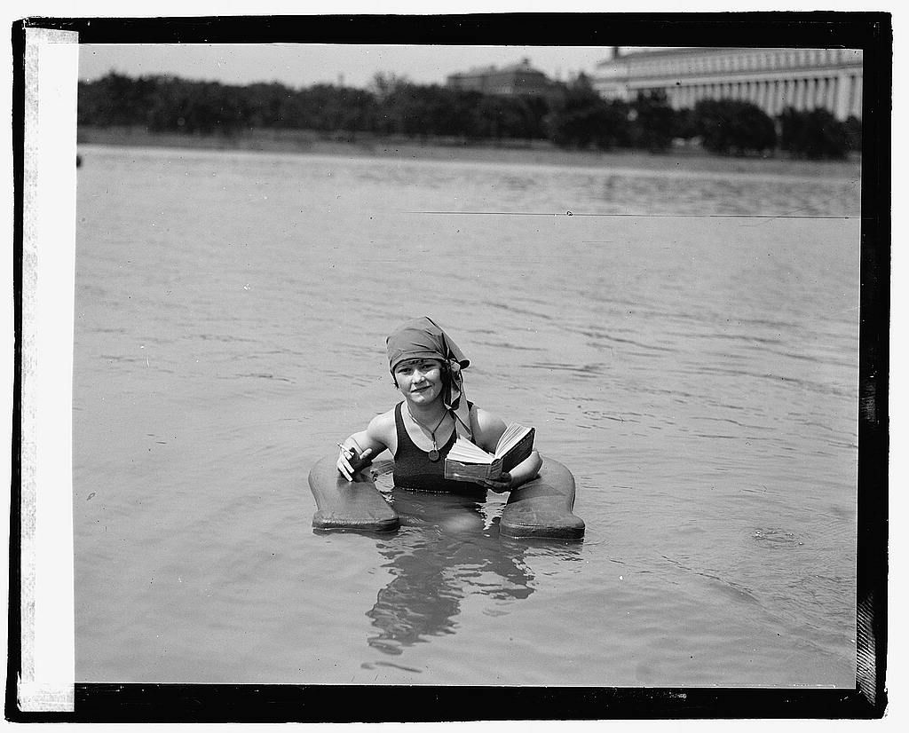
The 1912 cherry trees, the bathing beach and the new parkland made from the Potomac flats.
History
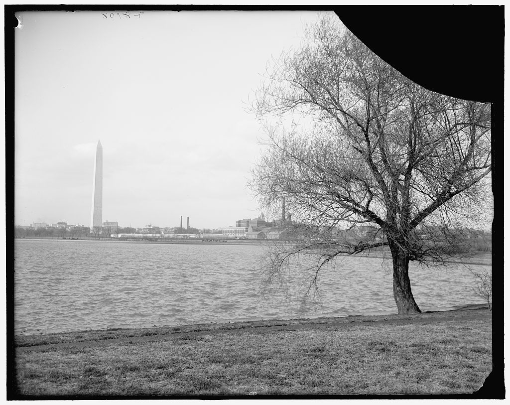
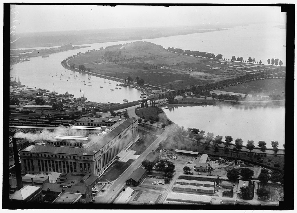
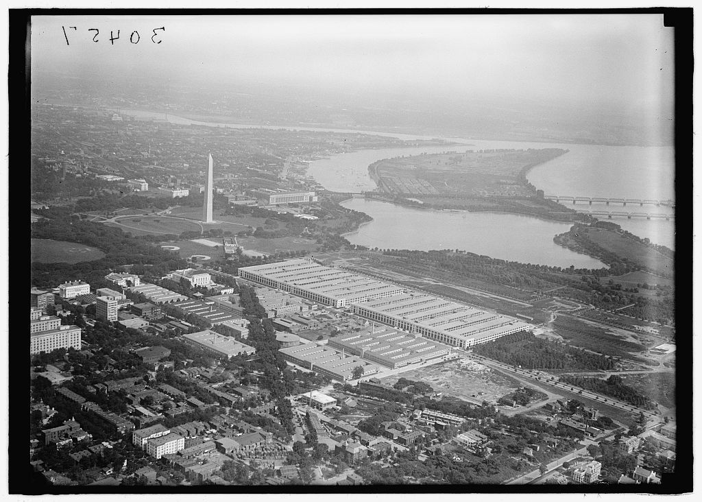
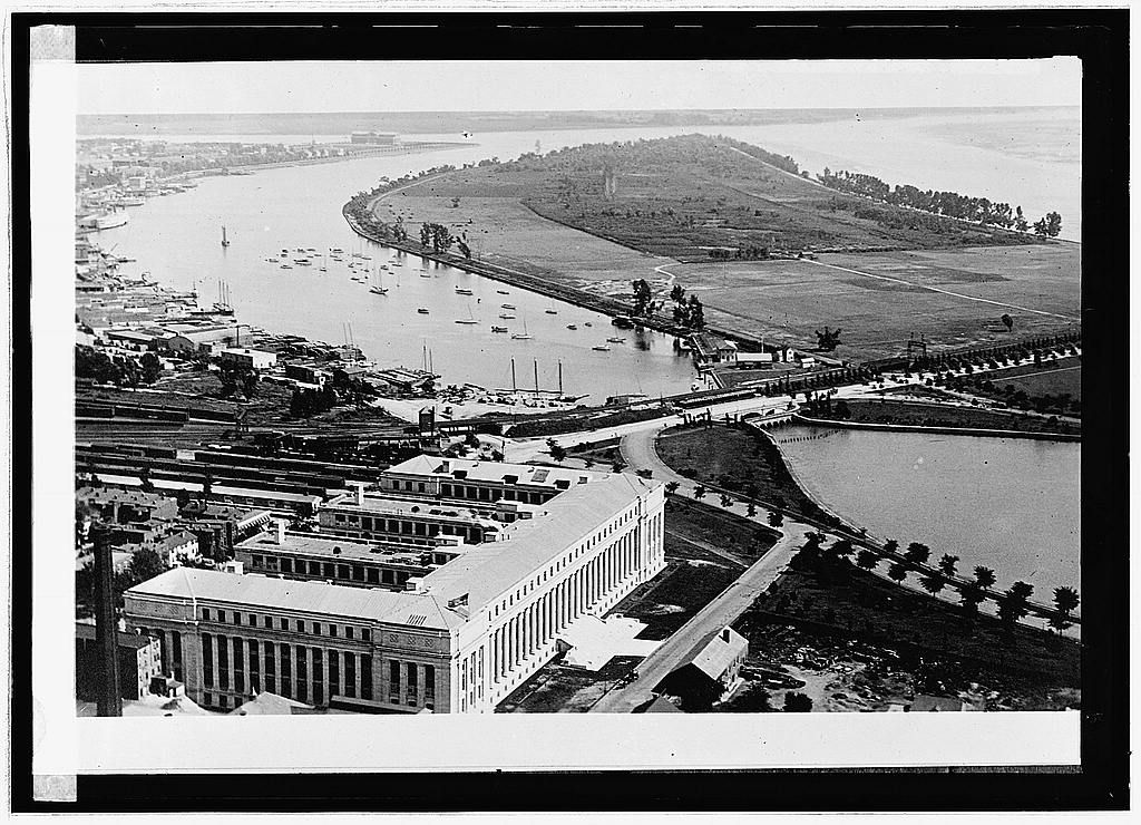
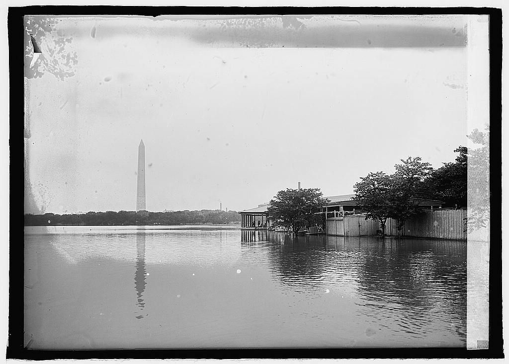
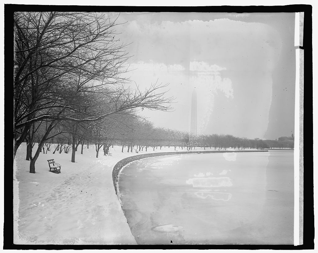
After the flood of 1881 the Army Corps of Engineers dredged the Potomac channel and piled the spoil on the marshy flats beside the city, creating hundreds of acres of new land: West and East Potomac Park. The Tidal Basin was built to flush the Washington Channel with each tide.
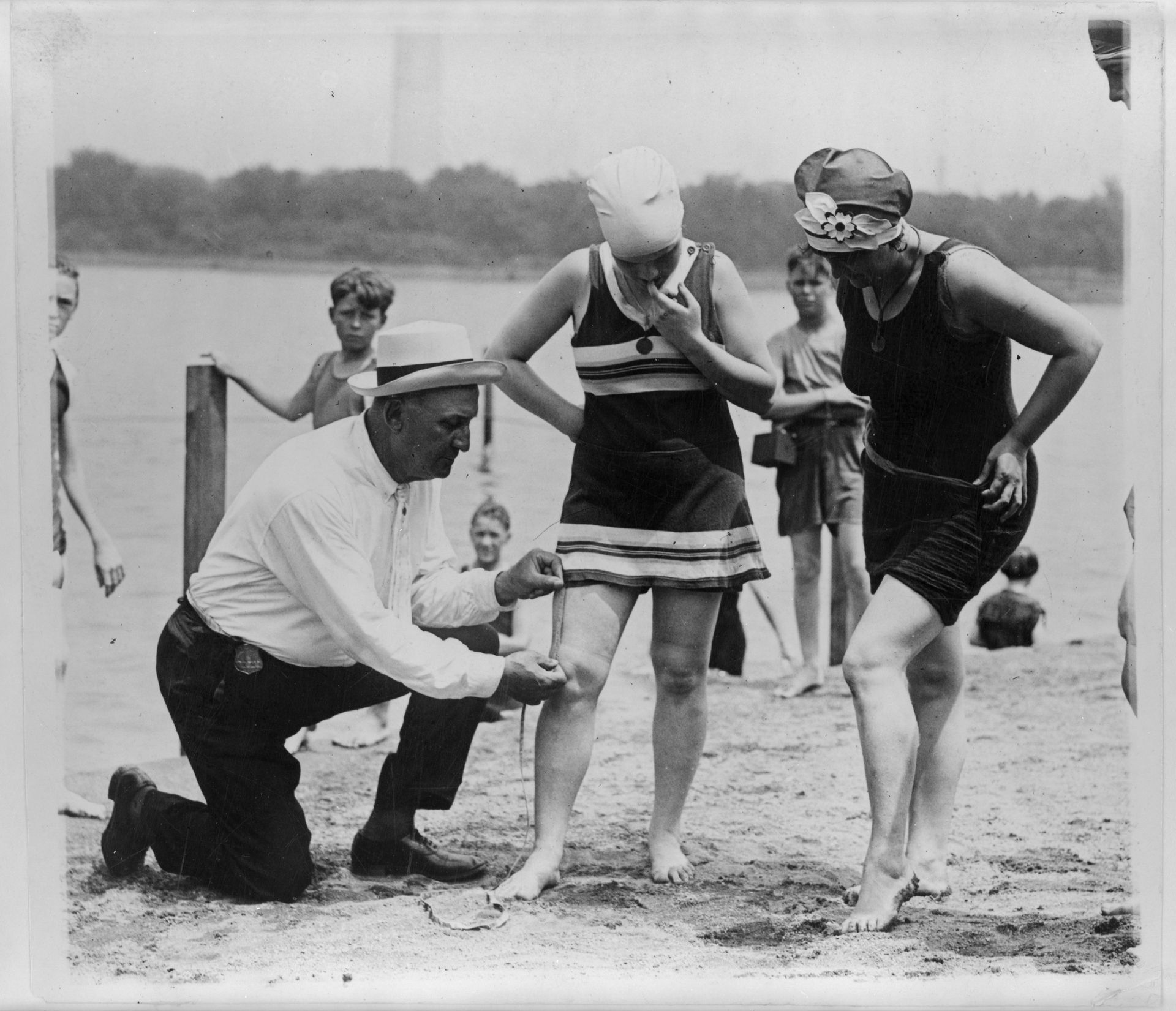
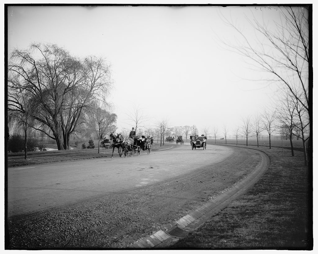
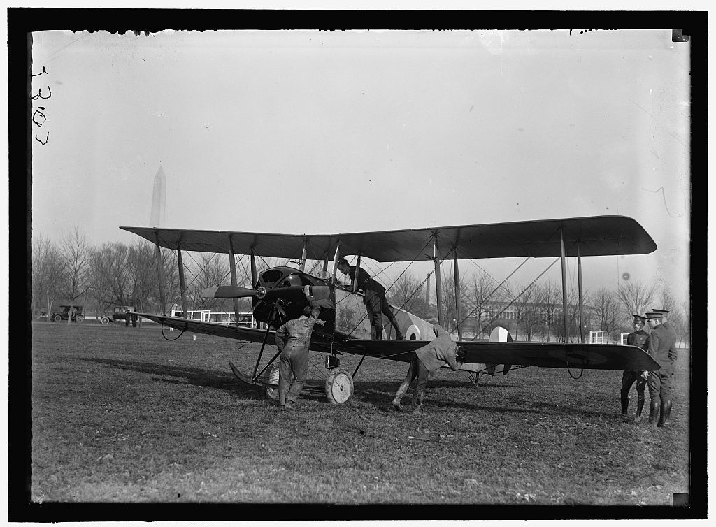
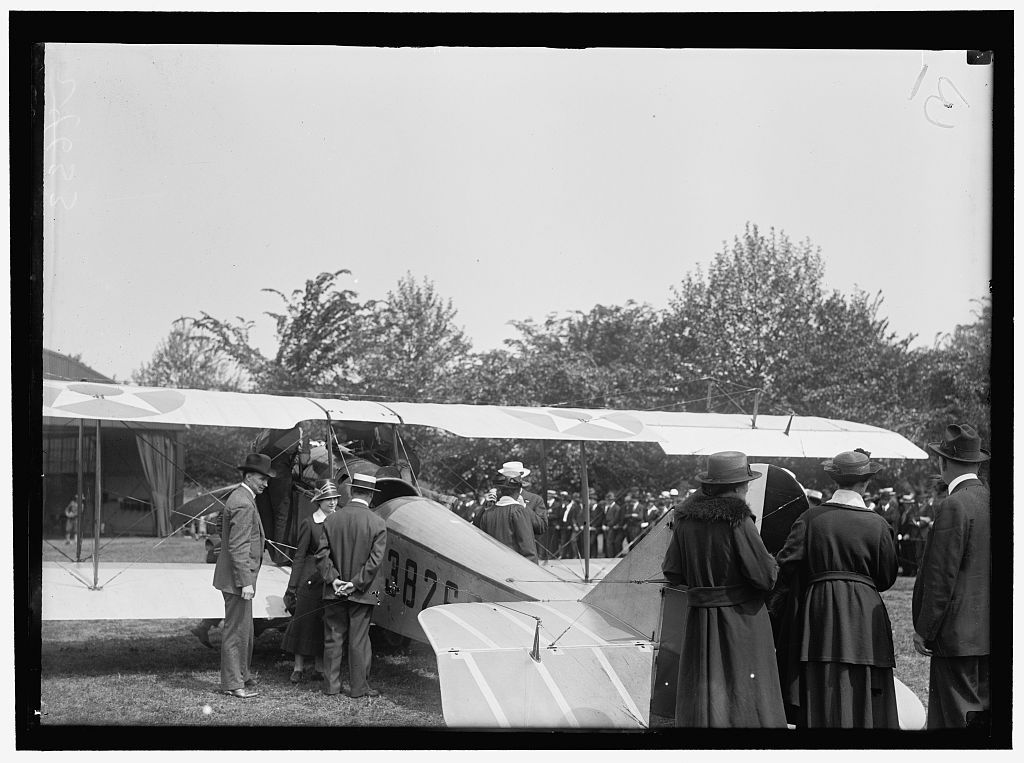
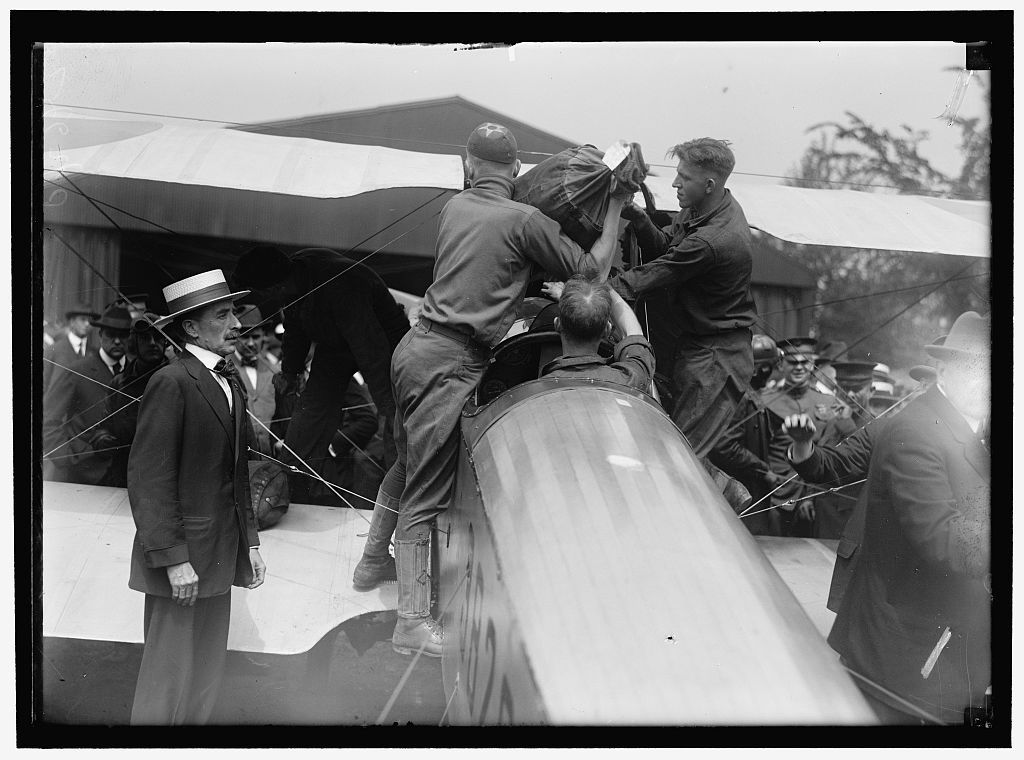
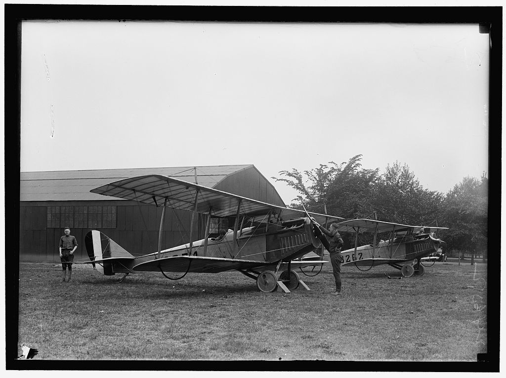
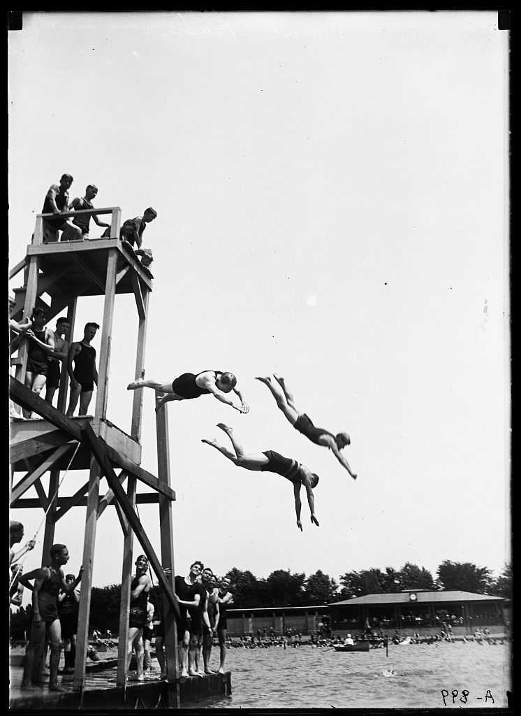
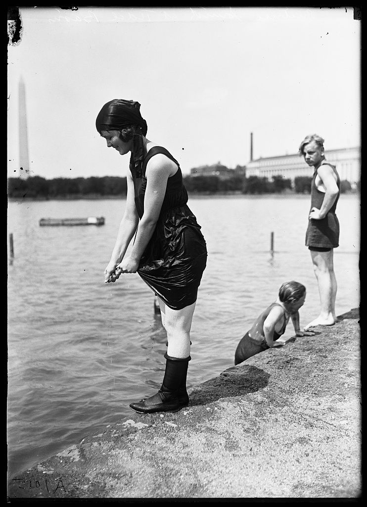
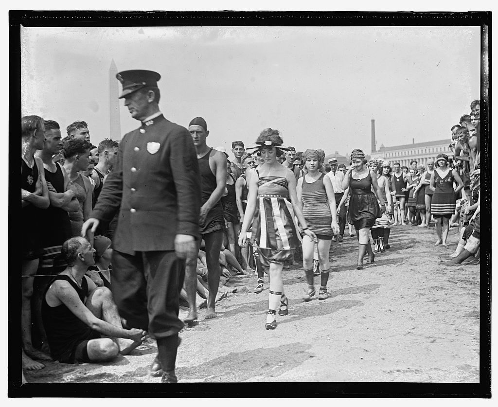
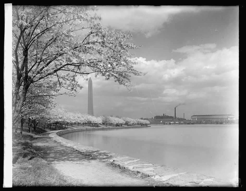
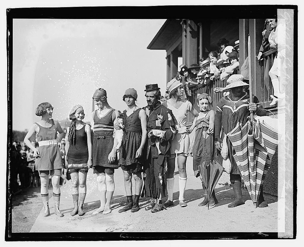
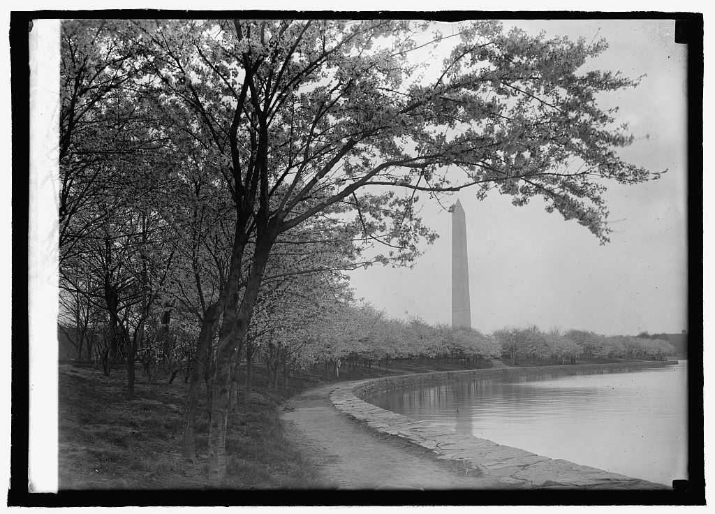
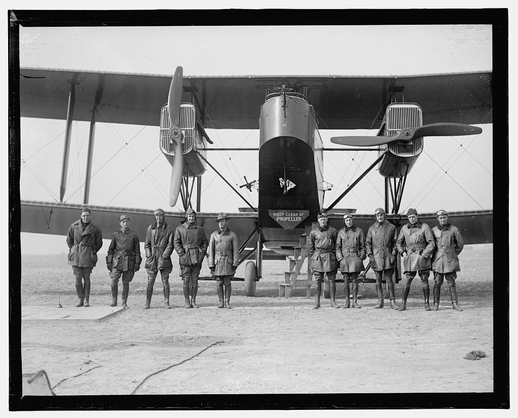
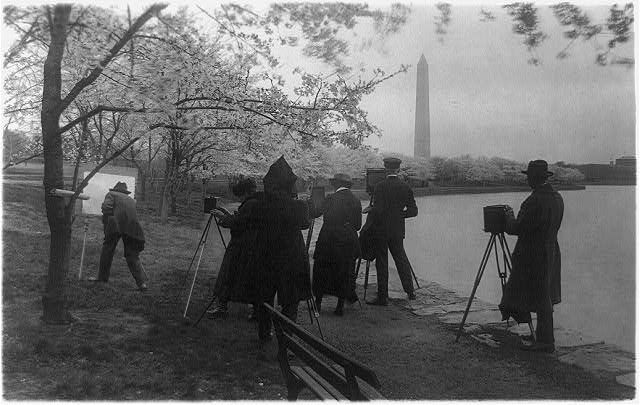
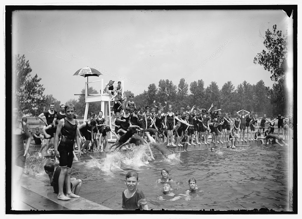
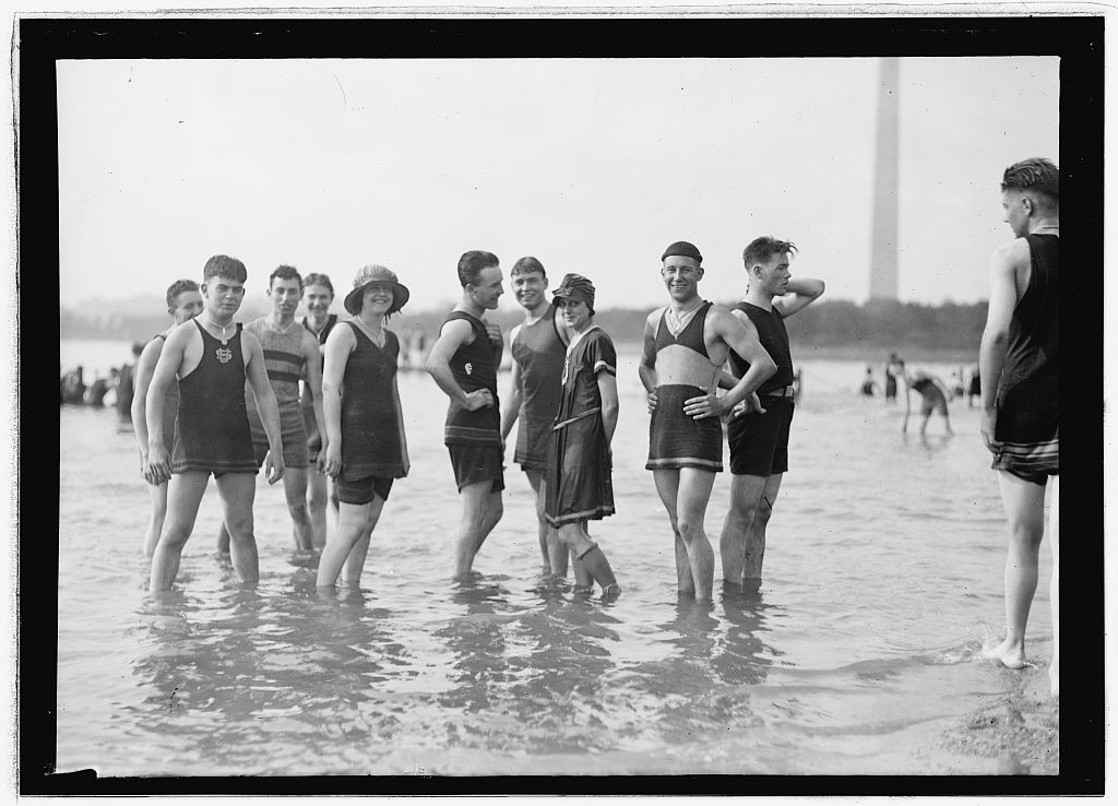
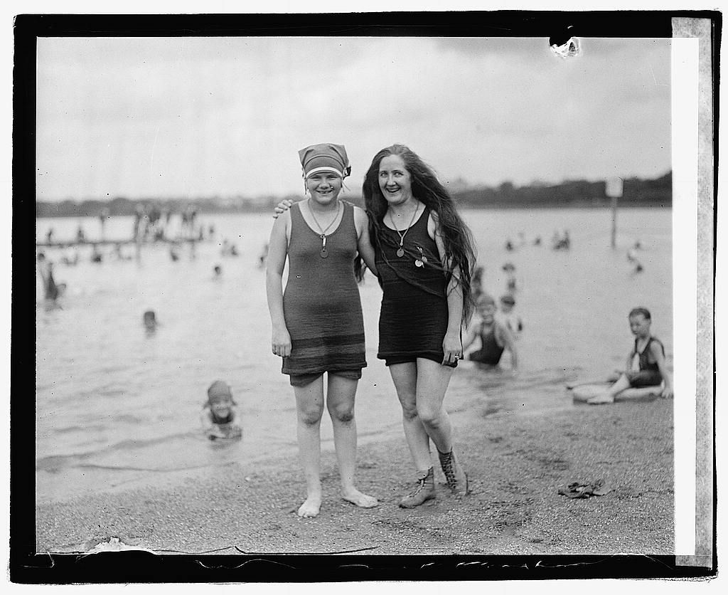
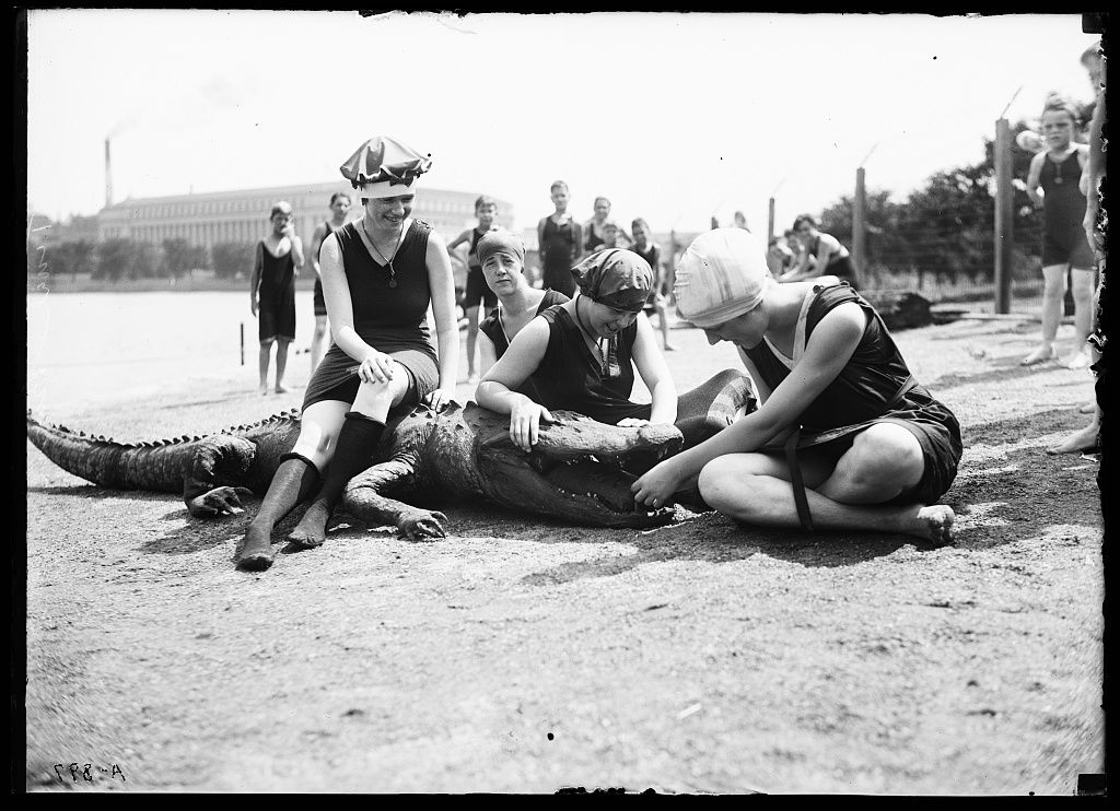
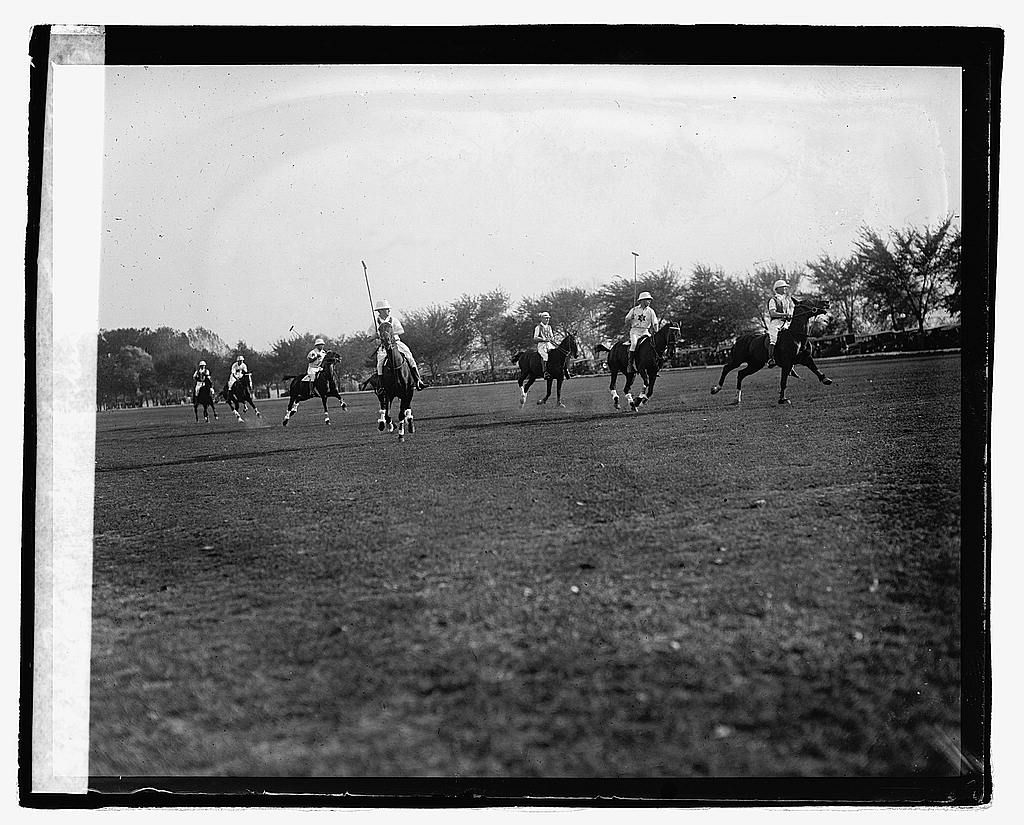
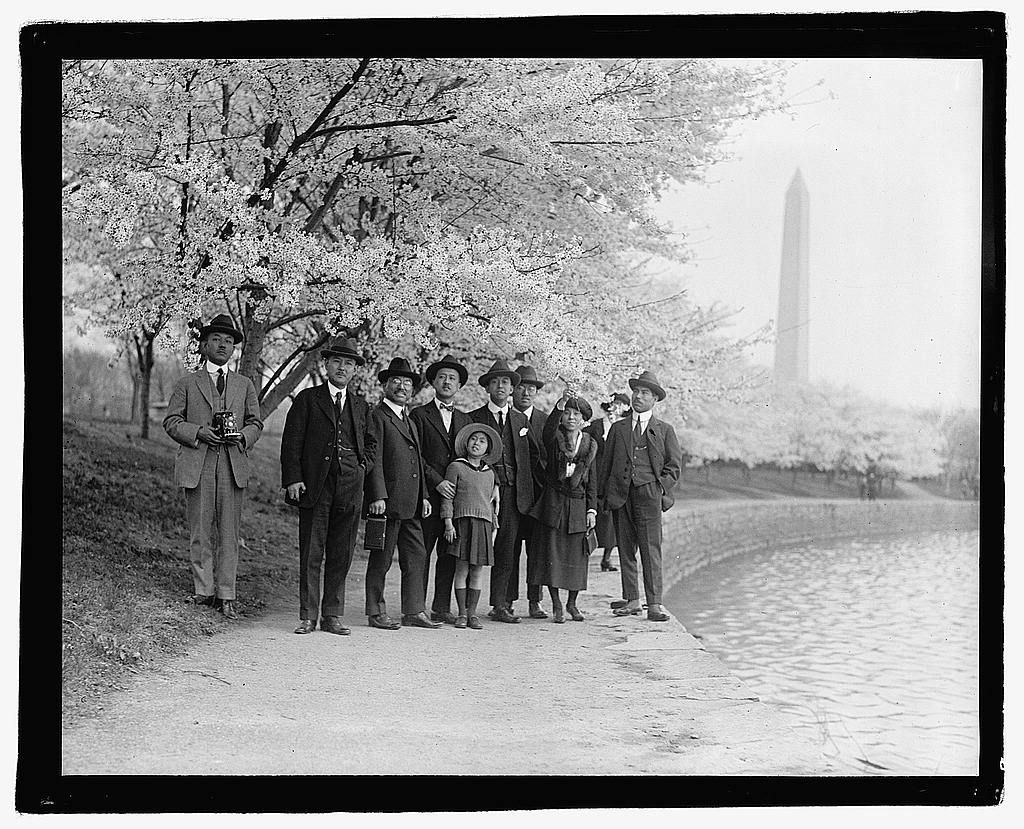
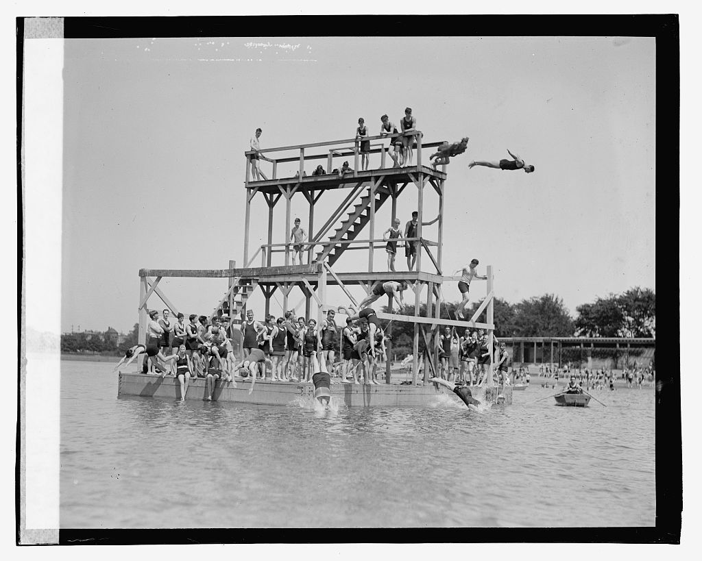
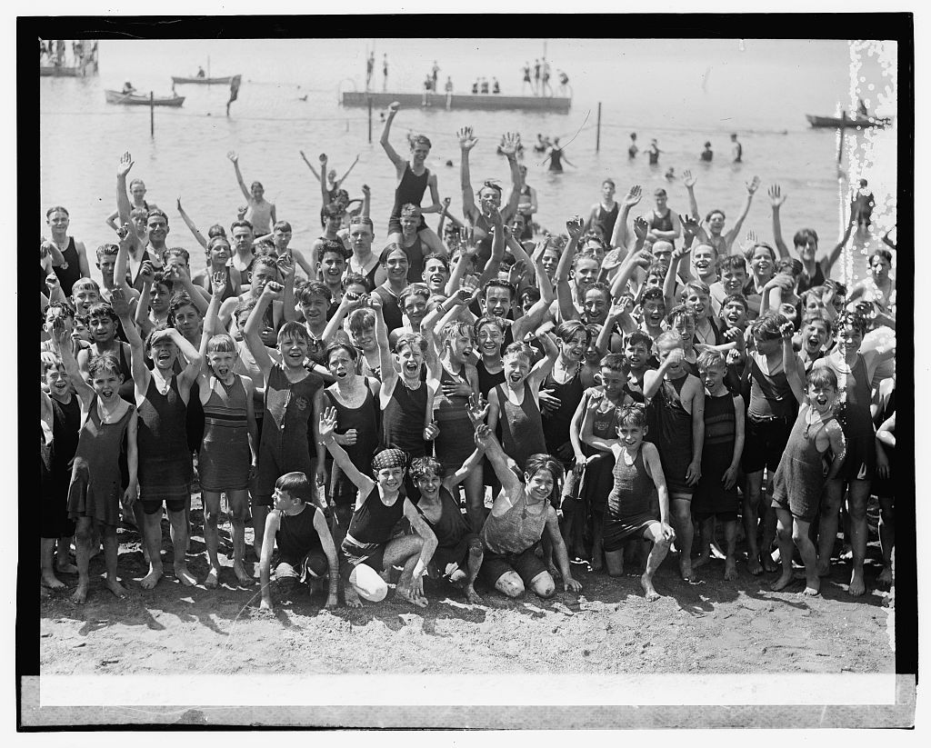
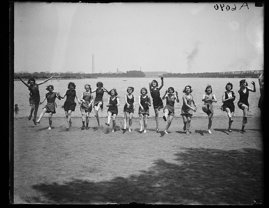
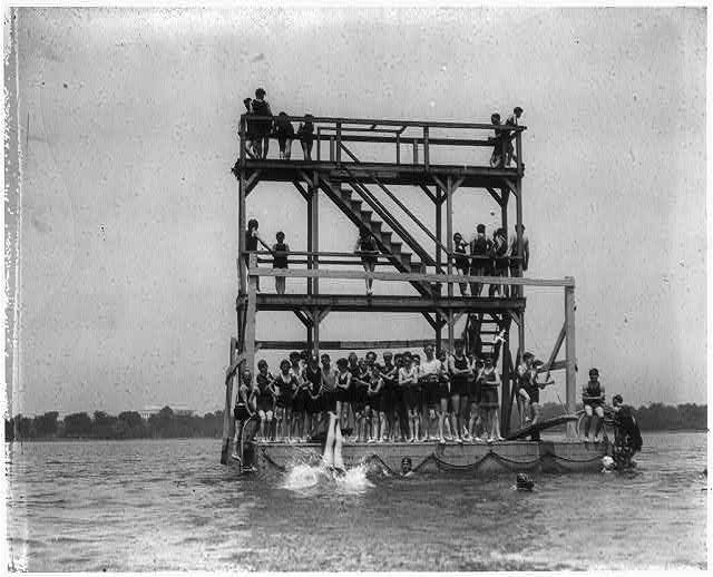
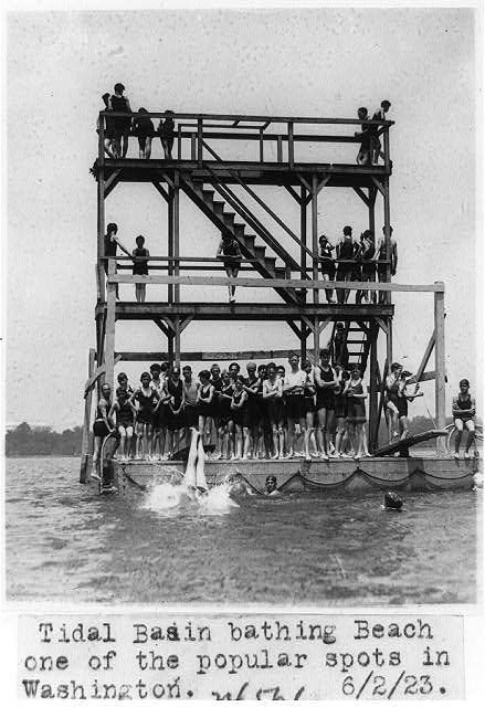
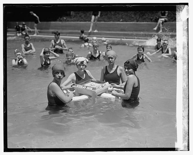
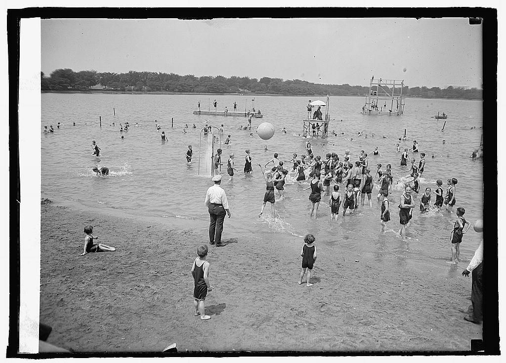
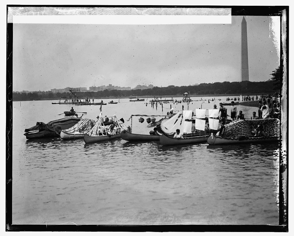
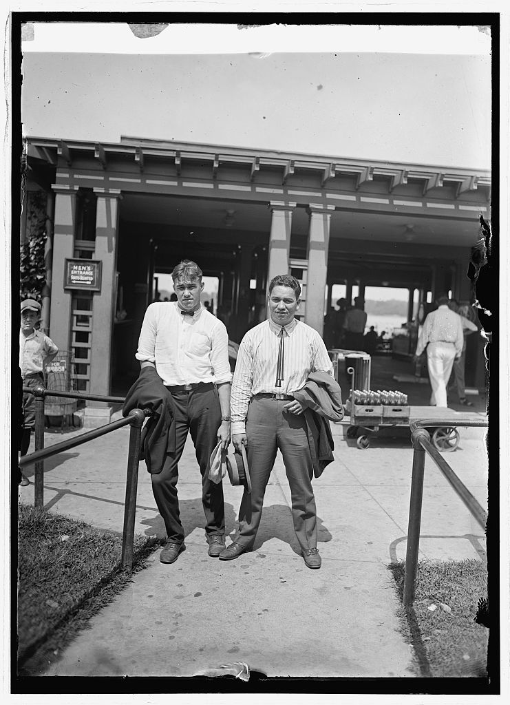
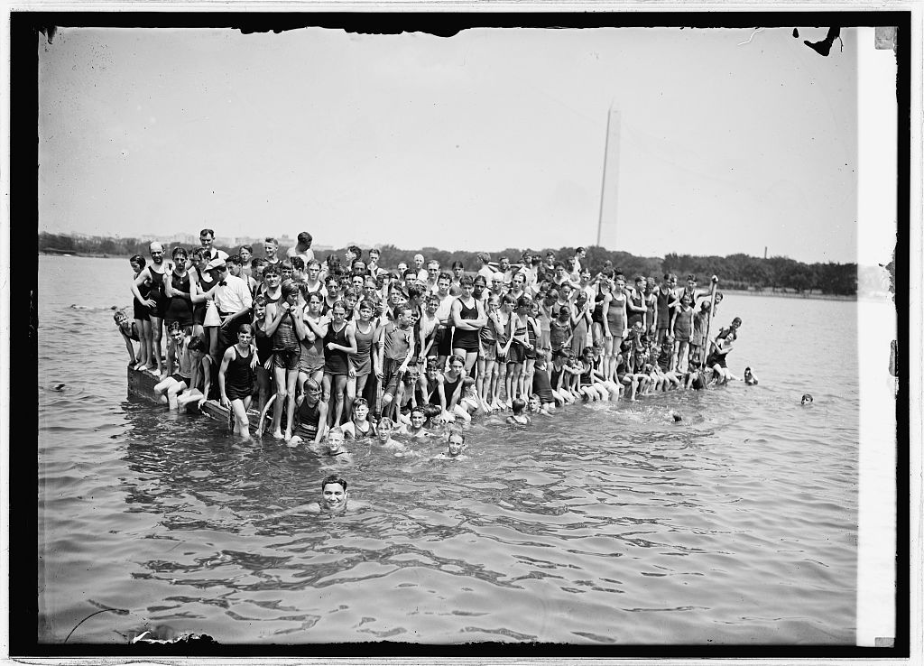
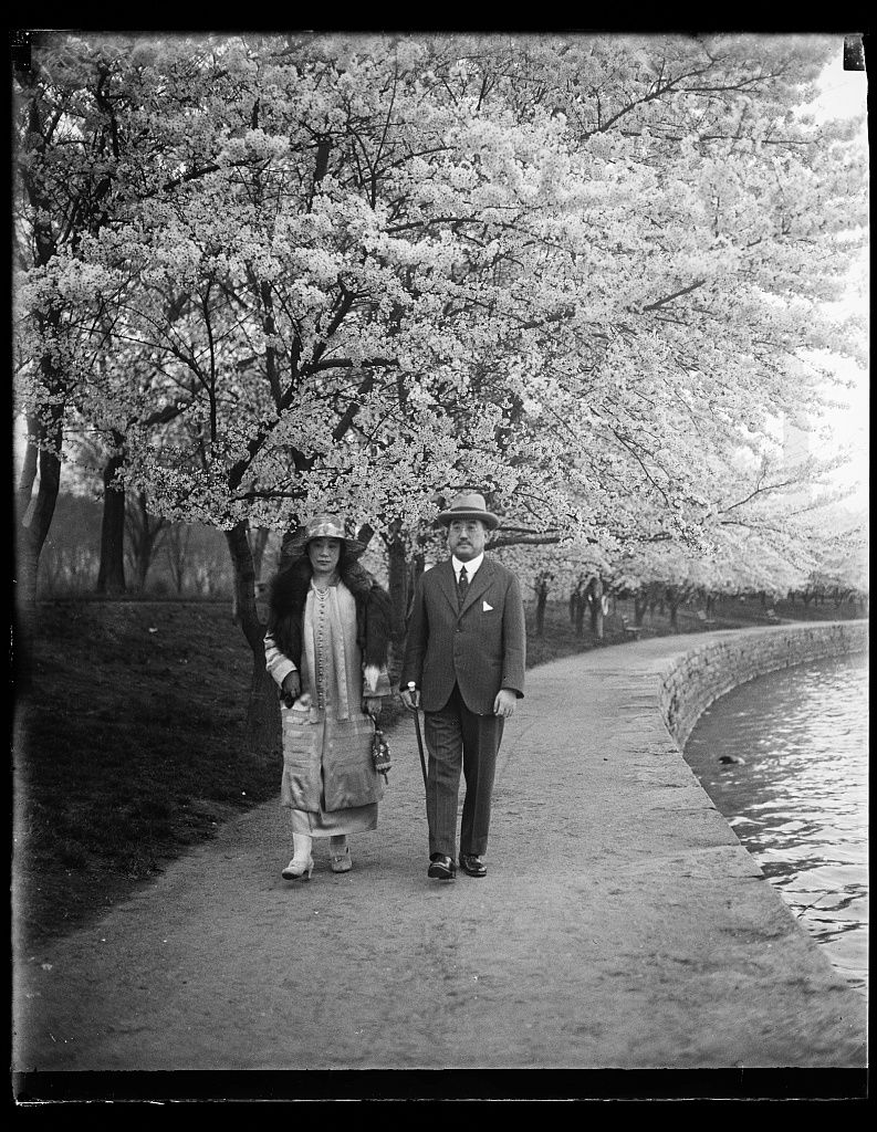
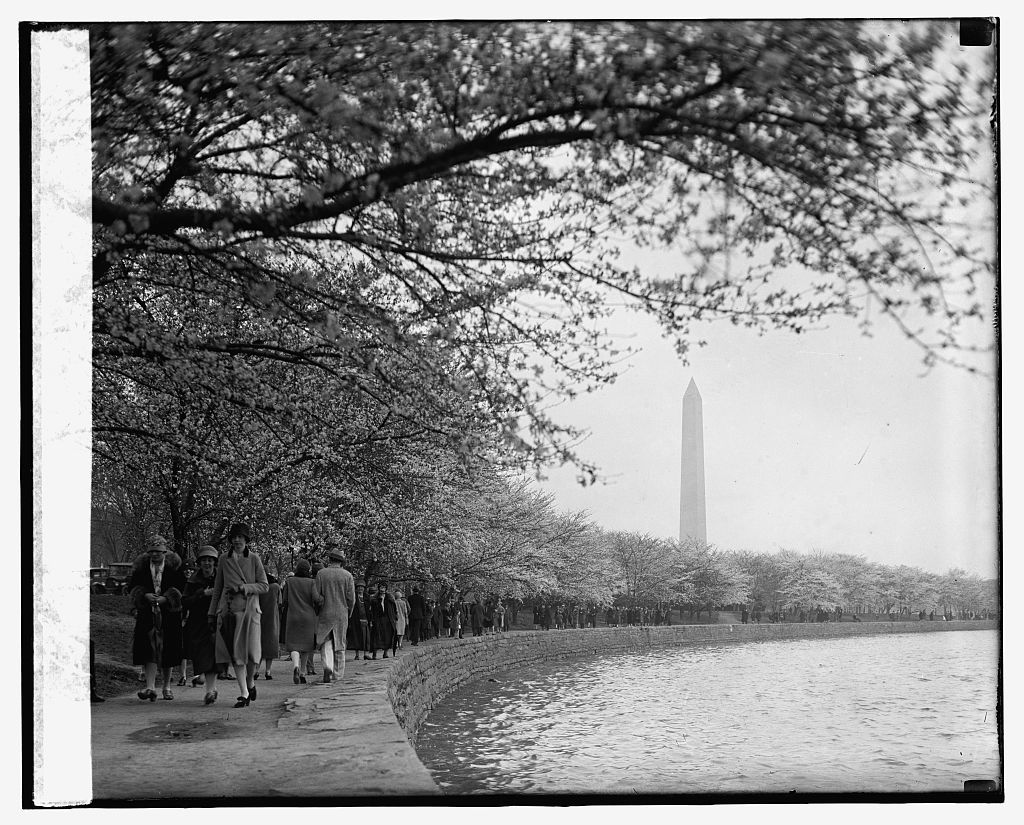
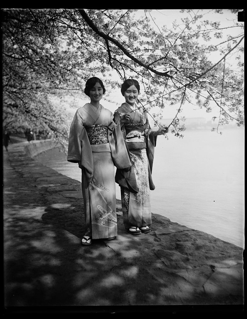
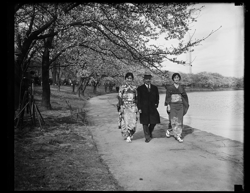
On March 27, 1912, Helen Taft and Viscountess Chinda planted the first two of 3,020 Japanese cherry trees given by Tokyo on the basin’s north bank. The new parkland was also where the city went for fresh air: a racially segregated bathing beach operated on the Tidal Basin from 1918 to 1925 (Congress planned a separate beach for Black bathers, but southern senators blocked it, and Congress closed the beach rather than integrate it); there were polo grounds and the Speedway drive. On May 15, 1918 the first scheduled airmail flight left from West Potomac Park.
What's there now
The Jefferson Memorial (1943) stands on the south side of the basin, and the Martin Luther King Jr. Memorial (2011) and Franklin D. Roosevelt Memorial on the west. The National Cherry Blossom Festival draws large crowds every spring.
Then and now
The first two trees planted in 1912 still stand near the end of 17th Street SW, marked by a plaque. The open, young parkland of these photographs is now mature trees and memorials, and swimming in the basin ended in 1925.
Compare: The cherry trees at the Tidal Basin, 1912–15 and about 1920.
Photographs 65, oldest first
Nearby: The Washington Monument · The Potomac waterfront · Seventeenth Street · The Lincoln Memorial · State, War and Navy Building